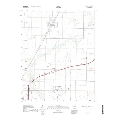
2020 Map of Tuckerman
USGS Topo · Published 2020About this map
Tuckerman and the surrounding Jackson County lowlands are defined by a complex network of managed waterways, including Village Creek and various agricultural drainage structures like Pompeys Ditch and Cage Ditch. This 2020 landscape illustrates the integration of higher education and regional infrastructure, anchored by the Arkansas State University Newport campus and the adjacent Newport Regional Airport. Smaller communities such as Campbell Station and Diaz flank the primary transit corridors, while the presence of numerous small burial grounds, including Gracelawn Cem and the Harper-Barnes Cem, provides a detailed record of local family history and rural settlement patterns. The terrain transitions from the developed streets of Newport to the natural wetlands of Tupelo Brake, reflecting the area's ongoing relationship with the White River valley's hydrological systems.
Find a feature on this map
93 named features on this map. Tap any name to fly to it.
Don’t see what you’re looking for? This feature index may not catch every label — zoom into the map to look around manually.
Map Details
Editions of this 2020 Tuckerman Map
This is the sole edition of this map. No revisions or reprints were ever made.
Other maps of this area

1932 · Strawberry
USGS Topo · 1:62,500

1935 · Alicia
USGS Topo · 1:62,500

1935 · Strawberry
USGS Topo · 1:62,500

1935 · Newport
USGS Topo · 1:62,500

1935 · Tuckerman
USGS Topo · 1:62,500

1941 · Strawberry
USGS Topo · 1:62,500

1953 · Memphis
USGS Topo · 1:250,000

1955 · Cord
USGS Topo · 1:24,000

1956 · Memphis
USGS Topo · 1:250,000

1962 · Jacksonport
USGS Topo · 1:24,000