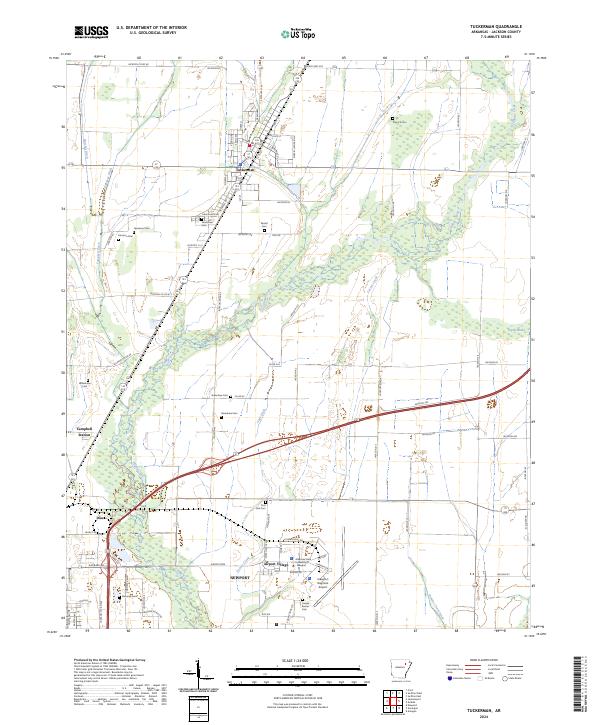
2024 Map of Tuckerman
USGS Topo · Published 2024About this map
Tuckerman and northern Newport anchor this survey of the Arkansas Delta, where the landscape is defined by a dense network of water management features like Pompeys Ditch and Cage Ditch. The transition from the residential streets of Diaz to the outlying reaches of Campbell Station reveals a region deeply tied to agricultural drainage and the winding path of Village Creek. These waterways, including Browns Creek Ditch and Locust Creek, suggest a history of reclaiming the lowlands for cultivation.
Find a feature on this map
90 named features on this map. Tap any name to fly to it.
Don’t see what you’re looking for? This feature index may not catch every label — zoom into the map to look around manually.
Map Details
Editions of this 2024 Tuckerman Map
This is the sole edition of this map. No revisions or reprints were ever made.
Other maps of this area

1932 · Strawberry
USGS Topo · 1:62,500

1935 · Alicia
USGS Topo · 1:62,500

1935 · Strawberry
USGS Topo · 1:62,500

1935 · Newport
USGS Topo · 1:62,500

1935 · Tuckerman
USGS Topo · 1:62,500

1941 · Strawberry
USGS Topo · 1:62,500

1953 · Memphis
USGS Topo · 1:250,000

1955 · Cord
USGS Topo · 1:24,000

1956 · Memphis
USGS Topo · 1:250,000

1962 · Jacksonport
USGS Topo · 1:24,000