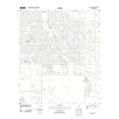
2011 Map of Tucson East
USGS Topo · Published 2011About this map
The Sonoran desert landscape meets rapid suburban development in eastern Tucson during the early 21st century. This study of the area east of the city core shows a high density of residential communities such as Kingston Knolls Terrace, Berkshire Village, and Vandenberg Village set against the natural drainages of the Pantano Wash and Kinnison Wash. The map documents significant aviation and military footprints, including the sprawling Davis Monthan AFB, Cregier Airport, and the Allied Airstrip.
Find a feature on this map
32 named features on this map. Tap any name to fly to it.
Don’t see what you’re looking for? This feature index may not catch every label — zoom into the map to look around manually.
Map Details
Editions of this 2011 Tucson East Map
This is the sole edition of this map. No revisions or reprints were ever made.
Other maps of this area

1904 · Tucson
USGS Topo · 1:125,000

1905 · Tucson
USGS Topo · 1:125,000

1948 · Tucson
USGS Topo · 1:62,500

1956 · Tucson
USGS Topo · 1:250,000

1957 · Tucson East
USGS Topo · 1:24,000

1957 · Bellota Ranch
USGS Topo · 1:62,500

1957 · Tucson
USGS Topo · 1:24,000

1957 · Tucson
USGS Topo · 1:62,500

1957 · Rincon Valley
USGS Topo · 1:62,500

1957 · Sabino Canyon
USGS Topo · 1:24,000