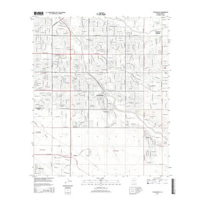
2014 Map of Tucson East
USGS Topo · Published 2014About this map
The eastern edges of Tucson reveal a complex drainage system where the Tanque Verde Wash and Agua Caliente Wash converge near the community of Tanque Verde. This 2014 survey documents the suburban expansion of Pima County, showing the proximity of established neighborhoods like Vandenberg Village and Littletown to the expansive Davis Monthan Air Force Base. The land is defined by a network of seasonal washes, including Kinnison Wash and Atterbury Wash, which cut through the developing landscape toward the Pantano Wash.
Find a feature on this map
39 named features on this map. Tap any name to fly to it.
Don’t see what you’re looking for? This feature index may not catch every label — zoom into the map to look around manually.
Map Details
Editions of this 2014 Tucson East Map
This is the sole edition of this map. No revisions or reprints were ever made.
Other maps of this area

1904 · Tucson
USGS Topo · 1:125,000

1905 · Tucson
USGS Topo · 1:125,000

1948 · Tucson
USGS Topo · 1:62,500

1956 · Tucson
USGS Topo · 1:250,000

1957 · Tucson East
USGS Topo · 1:24,000

1957 · Bellota Ranch
USGS Topo · 1:62,500

1957 · Tucson
USGS Topo · 1:24,000

1957 · Tucson
USGS Topo · 1:62,500

1957 · Rincon Valley
USGS Topo · 1:62,500

1957 · Sabino Canyon
USGS Topo · 1:24,000