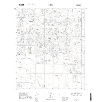
2018 Map of Tucson East
USGS Topo · Published 2018About this map
Tucson expands across the high desert in this detailed survey, where the city’s residential growth meets the intricate drainage networks of the Santa Cruz Valley. The landscape is defined by the significant presence of Davis Monthan Air Force Base in the southwest and the Pima Community College East Campus at the center. Subdivisions such as Kingston Knolls Terrace, Vandenberg Village, and the master-planned Civano community illustrate the modern footprint of Pima County.
Find a feature on this map
30 named features on this map. Tap any name to fly to it.
Don’t see what you’re looking for? This feature index may not catch every label — zoom into the map to look around manually.
Map Details
Editions of this 2018 Tucson East Map
This is the sole edition of this map. No revisions or reprints were ever made.
Other maps of this area

1904 · Tucson
USGS Topo · 1:125,000

1905 · Tucson
USGS Topo · 1:125,000

1948 · Tucson
USGS Topo · 1:62,500

1956 · Tucson
USGS Topo · 1:250,000

1957 · Tucson East
USGS Topo · 1:24,000

1957 · Bellota Ranch
USGS Topo · 1:62,500

1957 · Tucson
USGS Topo · 1:24,000

1957 · Tucson
USGS Topo · 1:62,500

1957 · Rincon Valley
USGS Topo · 1:62,500

1957 · Sabino Canyon
USGS Topo · 1:24,000