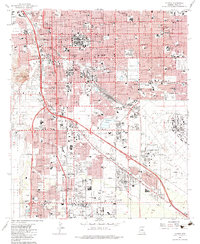
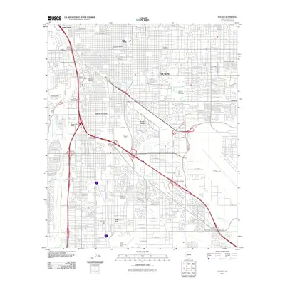
1957 Map of Tucson
USGS Topo · Published 1977About this map
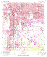
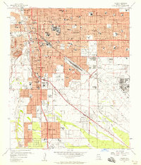
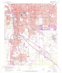
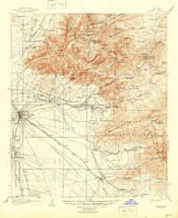
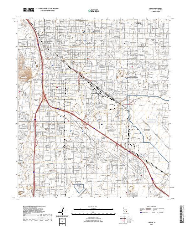
Pascua Yaqui Indian Village and the historic Sentinel Peak define the western reaches of this mid-century desert landscape, where the Santa Cruz River flows alongside the tracks of the Southern Pacific. The map captures a moment of significant institutional and educational growth in Tucson, evidenced by a dense network of neighborhood schools like Univ Heights Sch and specialized facilities such as the Veterans Hospital.
Find a feature on this map
139 named features on this map. Tap any name to fly to it.
Don’t see what you’re looking for? This feature index may not catch every label — zoom into the map to look around manually.
Map Details
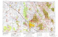
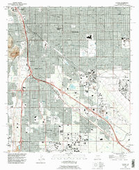
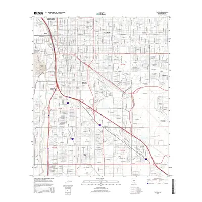
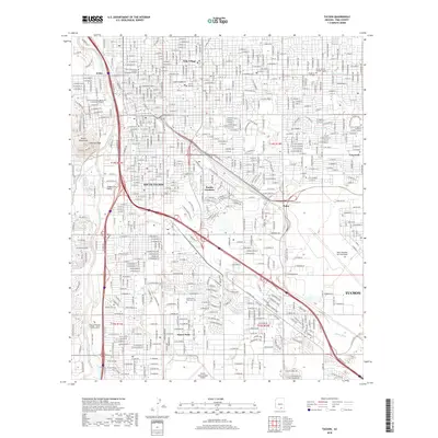
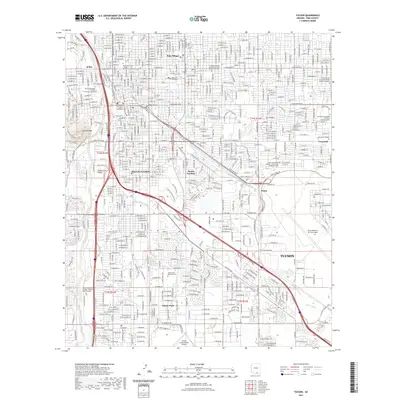
Editions of this 1957 Tucson Map
3 editions found
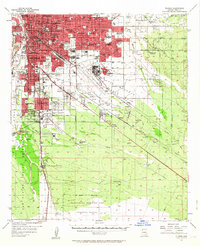
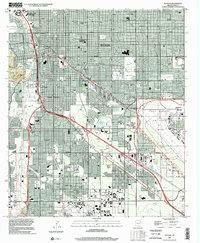
Historical Maps of Tucson Through Time
20 maps found
1904 Tucson
Pima County, AZ
1905 Tucson
Pima County, AZ
1948 Tucson
Pima County, AZ
1956 Tucson
Pima County, AZ
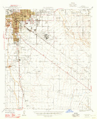
1957 Tucson
Pima County, AZ
1957 Tucson
Pima County, AZ

1958 Tucson
Pima County, AZ

1959 Tucson
Pima County, AZ

1962 Tucson
Pima County, AZ

1964 Tucson
Pima County, AZ
1983 Tucson
Pima County, AZ
1992 Tucson
Pima County, AZ
1994 Tucson
Pima County, AZ
1996 Tucson
Pima County, AZ
2011 Tucson
Pima County, AZ
2014 Tucson
Pima County, AZ
2018 Tucson
Pima County, AZ
2021 Tucson
Pima County, AZ
2023 Tucson
Pima County, AZ
2026 Tucson
Pima County, AZ