2024 Map of Tula
USGS Topo · Published 2024About this map
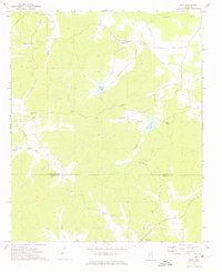
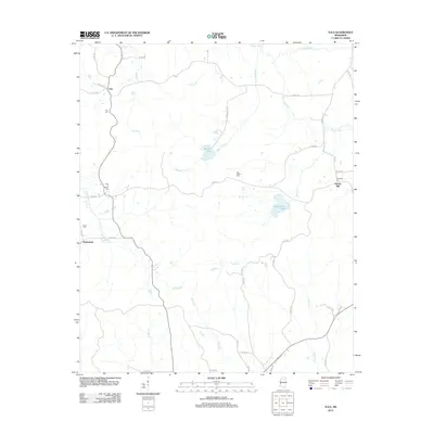
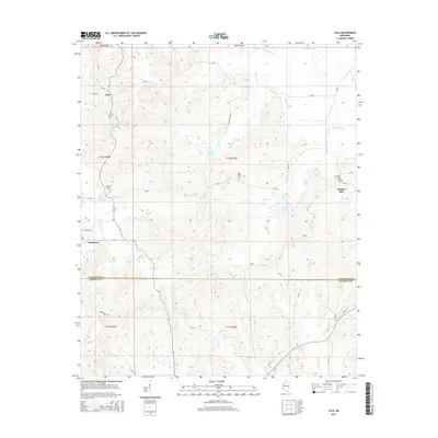
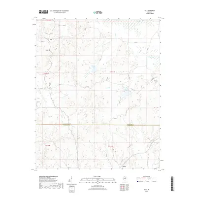
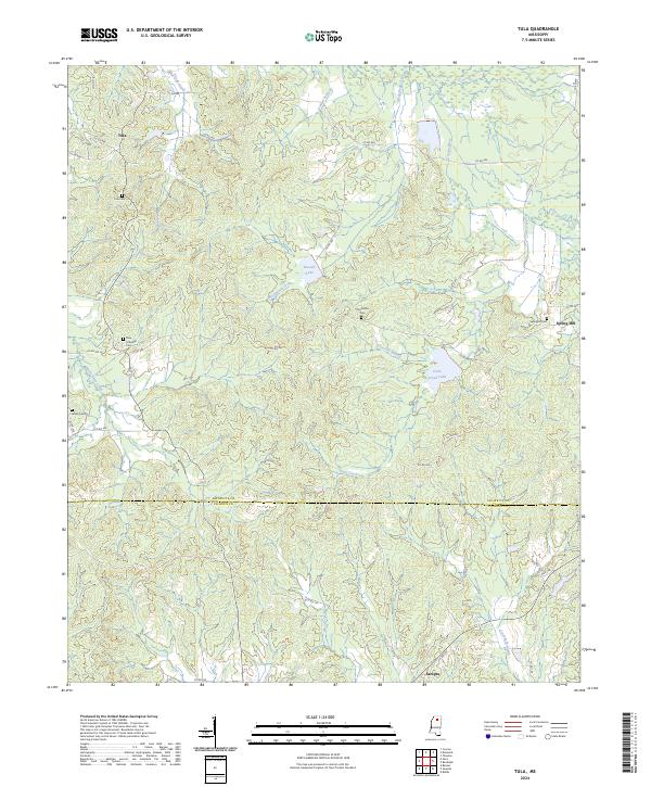
Tula and the surrounding timbered uplands of northern Mississippi define this landscape at the junction of Lafayette and Calhoun counties. The terrain is deeply etched by a network of waterways including the Yocona River and Muckaloon Creek, which feed into local impoundments like Russell Lake and Coon Creek Lake. This modern survey reveals a community anchored by tradition, evidenced by numerous burial grounds such as Old Dallas Cem and New El Bethel Cem that dot the ridges. Small settlements like Spring Hill and Sarepta are connected by a dense web of county roads that follow the winding topography. The proximity of Potlockney Creek and Sandy Creek to these established homesteads reflects the historical reliance on these drainages for agriculture and local life in the rural South.
Find a feature on this map
52 named features on this map. Tap any name to fly to it.
Don’t see what you’re looking for? This feature index may not catch every label — zoom into the map to look around manually.
Map Details
Editions of this 2024 Tula Map
This is the sole edition of this map. No revisions or reprints were ever made.
Historical Maps of Spring Hill Through Time
6 maps found