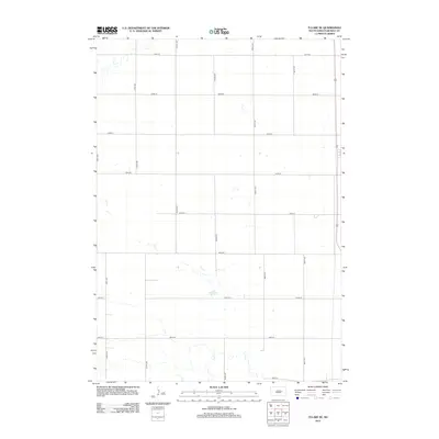
2012 Map of Tulare SE
USGS Topo · Published 2012About this map
Fox Lake serves as a primary hydrological landmark in this rural stretch of Beadle County, where the landscape is meticulously divided by a grid of agricultural section lines. This survey captures a classic Midwestern township pattern, characterized by the intersection of numbered section roads such as 191st St and 384th Ave. In the southern portion of the quadrangle, the meandering path of Cain Cr creates a localized drainage basin, contrasting with the rigid geometry of the surrounding road network. The lack of concentrated urban development highlights the area's continued reliance on large-scale farming and natural water features during the early twenty-first century.
Find a feature on this map
18 named features on this map. Tap any name to fly to it.
Don’t see what you’re looking for? This feature index may not catch every label — zoom into the map to look around manually.
Map Details
Editions of this 2012 Tulare SE Map
This is the sole edition of this map. No revisions or reprints were ever made.
Other maps of this area

1895 · Byron
USGS Topo · 1:125,000

1898 · Huron
USGS Topo · 1:125,000

1899 · Redfield
USGS Topo · 1:125,000

1950 · Wessington
USGS Topo · 1:24,000

1950 · Wessington NE
USGS Topo · 1:24,000

1953 · Huron
USGS Topo · 1:250,000

1954 · Huron
USGS Topo · 1:250,000

1967 · Hitchcock SW
USGS Topo · 1:24,000

1967 · Tulare NW
USGS Topo · 1:24,000

1967 · Tulare SE
USGS Topo · 1:24,000