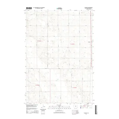
2015 Map of Tulare SE
USGS Topo · Published 2015About this map
Bonilla sits at the eastern edge of this Beadle County landscape, anchored by a grid of agricultural section roads that define the rural character of the region. The terrain is marked by numerous small depressions and seasonal basins, with Fox Lake and the winding course of Cain Cr serving as the primary hydrologic features. The 2015 U.S. Geological Survey data reveals a highly organized township structure, specifically t113n r64w and t112n r64w, where the intersection of routes like 191st St and 385th Ave facilitates the transport of local agricultural goods. This survey provides a clear view of the modern land divisions and the persistent isolation of small prairie settlements within the vast South Dakota plains.
Find a feature on this map
22 named features on this map. Tap any name to fly to it.
Don’t see what you’re looking for? This feature index may not catch every label — zoom into the map to look around manually.
Map Details
Editions of this 2015 Tulare SE Map
This is the sole edition of this map. No revisions or reprints were ever made.
Other maps of this area

1895 · Byron
USGS Topo · 1:125,000

1898 · Huron
USGS Topo · 1:125,000

1899 · Redfield
USGS Topo · 1:125,000

1950 · Wessington
USGS Topo · 1:24,000

1950 · Wessington NE
USGS Topo · 1:24,000

1953 · Huron
USGS Topo · 1:250,000

1954 · Huron
USGS Topo · 1:250,000

1967 · Hitchcock SW
USGS Topo · 1:24,000

1967 · Tulare NW
USGS Topo · 1:24,000

1967 · Tulare SE
USGS Topo · 1:24,000