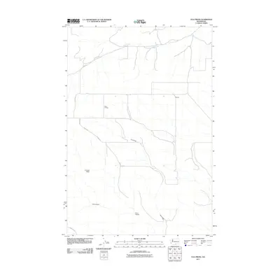
2011 Map of Tule Prong
USGS Topo · Published 2011About this map
Glade Cemetery sits at the heart of this Yakima County landscape, a quiet marker of early settlement history in a region defined by its drainage systems and ridges. The terrain is shaped by the winding course of Glade Creek in the north and the namesake Tule Prong to the south, which cuts through the high ground. Local travel is dictated by a grid of rural thoroughfares, including Ridge Rd and County Line Rd, which connect the small settlement at Plainview to the surrounding canyons. Notable topographic features like Kimbrell Ridge, Jerry Canyon, and Stone Canyon dominate the southern half of the quadrangle, illustrating the complex geography that directed the development of local roads such as Glade Rd and Sand Ridge Rd.
Find a feature on this map
14 named features on this map. Tap any name to fly to it.
Don’t see what you’re looking for? This feature index may not catch every label — zoom into the map to look around manually.
Map Details
Editions of this 2011 Tule Prong Map
This is the sole edition of this map. No revisions or reprints were ever made.
Other maps of this area

1906 · Blalock Island
USGS Topo · 1:125,000

1908 · Blalock Island
USGS Topo · 1:125,000

1910 · Zillah
USGS Topo · 1:125,000

1915 · Prosser
USGS Topo · 1:125,000

1916 · Arlington
USGS Topo · 1:125,000

1917 · Prosser
USGS Topo · 1:125,000

1950 · Yakima
USGS Topo · 1:250,000

1953 · Pendleton
USGS Topo · 1:250,000

1953 · Walla Walla
USGS Topo · 1:250,000

1953 · The Dalles
USGS Topo · 1:250,000