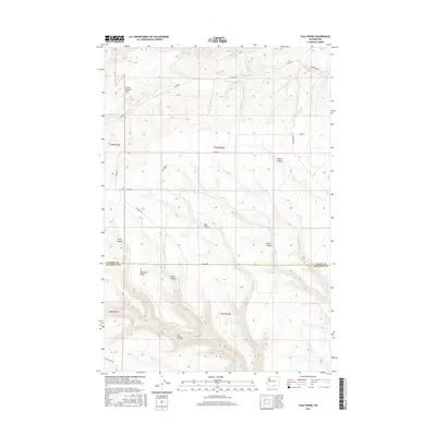
2017 Map of Tule Prong
USGS Topo · Published 2017About this map
Horse Heaven Hills rise across this high-elevation landscape along the border of Yakima and Klickitat counties. The map captures a high plateau defined by deep drainage systems, including Tule Prong, Tule Canyon, and Dead Canyon. While much of the terrain is characterized by these dramatic breaks in the earth, the presence of the Glade Cem near Glade Cr provides a specific point of interest for those tracking family history in this corner of Washington. The road network, including Co Line Rd and Glade Rd, follows the section lines of the Public Land Survey System, illustrating how 19th-century land divisions continue to dictate the modern geography of the Pacific Northwest. These routes connect isolated ridges like Kimbrell Ridge to the wider region, crossing the complex network of canyons that feed toward the south.
Find a feature on this map
24 named features on this map. Tap any name to fly to it.
Don’t see what you’re looking for? This feature index may not catch every label — zoom into the map to look around manually.
Map Details
Editions of this 2017 Tule Prong Map
This is the sole edition of this map. No revisions or reprints were ever made.
Other maps of this area

1906 · Blalock Island
USGS Topo · 1:125,000

1908 · Blalock Island
USGS Topo · 1:125,000

1910 · Zillah
USGS Topo · 1:125,000

1915 · Prosser
USGS Topo · 1:125,000

1916 · Arlington
USGS Topo · 1:125,000

1917 · Prosser
USGS Topo · 1:125,000

1950 · Yakima
USGS Topo · 1:250,000

1953 · Pendleton
USGS Topo · 1:250,000

1953 · Walla Walla
USGS Topo · 1:250,000

1953 · The Dalles
USGS Topo · 1:250,000