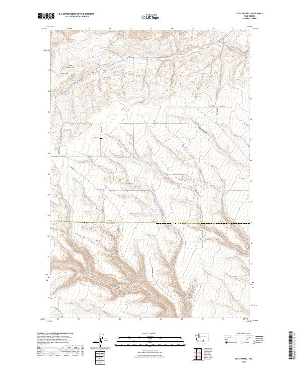
2023 Map of Tule Prong
USGS Topo · Published 2023About this map
The Horse Heaven Hills dominate this portion of south-central Washington, where the landscape is defined by a series of deep drainage systems cutting through the high basalt plateau. The Yakima and Klickitat county line bisects the territory, following the path of Co Line Rd across the southern half. This sparsely populated agricultural and rangeland region is anchored by the Glade Cem located near Glade Creek, reflecting the early settlement patterns of the local ranching community.
Find a feature on this map
25 named features on this map. Tap any name to fly to it.
Don’t see what you’re looking for? This feature index may not catch every label — zoom into the map to look around manually.
Map Details
Editions of this 2023 Tule Prong Map
This is the sole edition of this map. No revisions or reprints were ever made.
Other maps of this area

1906 · Blalock Island
USGS Topo · 1:125,000

1908 · Blalock Island
USGS Topo · 1:125,000

1910 · Zillah
USGS Topo · 1:125,000

1915 · Prosser
USGS Topo · 1:125,000

1916 · Arlington
USGS Topo · 1:125,000

1917 · Prosser
USGS Topo · 1:125,000

1950 · Yakima
USGS Topo · 1:250,000

1953 · Pendleton
USGS Topo · 1:250,000

1953 · Walla Walla
USGS Topo · 1:250,000

1953 · The Dalles
USGS Topo · 1:250,000