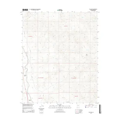
2014 Map of Tule Wash
USGS Topo · Published 2014About this map
The Big Sandy River corridor defines the western edge of this landscape in Mohave County, where the desert floor is carved by an intricate network of drainage systems. The namesake Tule Wash and Big Wash converge toward the river valley, flanked by a series of deep cuts including Bull Canyon and Gunsight Canyon. These natural features illustrate the erosional patterns of the high desert, with Orhando Spring providing a rare water source in the northeastern reaches.
Find a feature on this map
19 named features on this map. Tap any name to fly to it.
Don’t see what you’re looking for? This feature index may not catch every label — zoom into the map to look around manually.
Map Details
Editions of this 2014 Tule Wash Map
This is the sole edition of this map. No revisions or reprints were ever made.
Other maps of this area

1923 · Signal
USGS Topo · 1:250,000

1942 · Signal
USGS Topo · 1:250,000

1950 · Prescott
USGS Topo · 1:250,000

1954 · Prescott
USGS Topo · 1:250,000

1958 · Prescott
USGS Topo · 1:250,000

1959 · Prescott
USGS Topo · 1:250,000

1960 · Prescott
USGS Topo · 1:250,000

1965 · Prescott
USGS Topo · 1:250,000
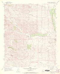
1967 · Gunsight Canyon
USGS Topo · 1:24,000
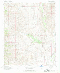
1967 · Pilgrim Wash
USGS Topo · 1:24,000