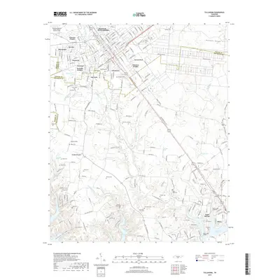
2019 Map of Tullahoma
USGS Topo · Published 2019About this map
Tullahoma serves as the central hub of this Highland Rim landscape, where established neighborhoods like Briarwood, Bel-Aire, and Forrest Park radiate from the historic downtown core. The geography is deeply marked by its burial grounds and water sources, from the extensive Oakwood Cem and Maplewood Cem to the headwaters of Rock Cr and the expansive Tims Ford Lake in the southeast.
Find a feature on this map
139 named features on this map. Tap any name to fly to it.
Don’t see what you’re looking for? This feature index may not catch every label — zoom into the map to look around manually.
Map Details
Editions of this 2019 Tullahoma Map
This is the sole edition of this map. No revisions or reprints were ever made.
Other maps of this area

1928 · Decherd
USGS Topo · 1:62,500

1936 · Ovoca
USGS Topo · 1:24,000

1936 · Manchester
USGS Topo · 1:24,000

1936 · Cumberland Springs
USGS Topo · 1:24,000

1936 · Winchester
USGS Topo · 1:24,000

1936 · Belvidere
USGS Topo · 1:24,000

1936 · Camp Peay
USGS Topo · 1:24,000

1936 · Capitol Hill
USGS Topo · 1:24,000

1936 · Normandy
USGS Topo · 1:24,000

1936 · Lois
USGS Topo · 1:24,000