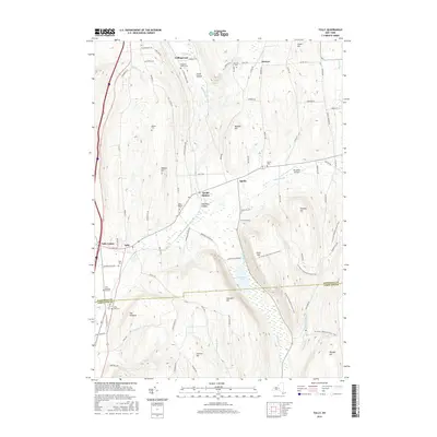
2016 Map of Tully
USGS Topo · Published 2016About this map
The rugged divide between the Susquehanna and St. Lawrence watersheds is clearly visible here, as drainage splits between the southward-flowing Kenney Brook and the northern reach of Butternut Cr. The village of Tully and its neighbor Tully Center anchor the western edge of the sheet, while the eastern terrain is dominated by high ridges like Fellows Hill and Morgan Hill. In the valley between, Labrador Pond sits beneath the steep slopes of Labrador Hill, marking a significant glacial landscape.
Find a feature on this map
86 named features on this map. Tap any name to fly to it.
Don’t see what you’re looking for? This feature index may not catch every label — zoom into the map to look around manually.
Map Details
Editions of this 2016 Tully Map
This is the sole edition of this map. No revisions or reprints were ever made.
Other maps of this area

1897 · Cazenovia
USGS Topo · 1:62,500

1899 · Cazenovia
USGS Topo · 1:62,500

1900 · Tully
USGS Topo · 1:62,500

1903 · Cortland
USGS Topo · 1:62,500

1904 · Pitcher
USGS Topo · 1:62,500

1942 · Oran
USGS Topo · 1:24,000

1943 · South Onondaga
USGS Topo · 1:31,680

1943 · Jamesville
USGS Topo · 1:31,680

1943 · Otisco Valley
USGS Topo · 1:31,680
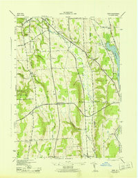
1943 · Oran
USGS Topo · 1:31,680