
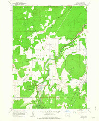
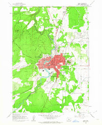
1962 Map of Tumalo
USGS Topo · Published 1976About this map
The Deschutes River carves a central path through this section of the High Desert, revealing a landscape defined by volcanic geology and early 20th-century irrigation engineering. Irrigation is the primary feature of the era, with an intricate network including the Columbia Southern Canal, Swalley Canal, and the Old Redmond Bend Canal drawing water toward the arid plateaus. The topography is marked by prominent cinder cones such as Long Butte and Laidlaw Butte, which overlook numerous Cinder Pits and gravel operations essential for local construction and road building.
Find a feature on this map
40 named features on this map. Tap any name to fly to it.
Don’t see what you’re looking for? This feature index may not catch every label — zoom into the map to look around manually.
Map Details
Editions of this 1962 Tumalo Map
3 editions found
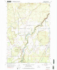
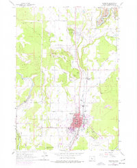
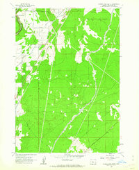
Other maps of this area

1926 · Bend
USGS Topo · 1:125,000

1929 · Bend
USGS Topo · 1:125,000

1955 · Bend
USGS Topo · 1:250,000

1957 · Bend
USGS Topo · 1:250,000

1958 · Bend
USGS Topo · 1:250,000
1961 · Redmond
USGS Topo · 1:24,000
1962 · Forked Horn Butte
USGS Topo · 1:24,000
1962 · Bend
USGS Topo · 1:24,000
1962 · Bend Airport
USGS Topo · 1:24,000
1962 · Redmond
USGS Topo · 1:24,000