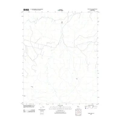
2012 Map of Tumey Hills
USGS Topo · Published 2012About this map
The Tumey Hills and Griswold Hills define this arid landscape in Fresno County, where the relief is carved by seasonal drainages such as Panoche Cr and Silver Cr. This 2012 survey shows the persistent influence of the petroleum industry on the local geography, specifically within the Vallecitos Oil Field near the southern boundary. The topography is marked by distinctive features like Right Angle Canyon, where the sharp turns in the drainage patterns reveal the structural geology of the region. Access through these highlands is primarily facilitated by Panoche Rd, which meanders across the hills to connect the western and eastern slopes. The map reflects a modern record of a sparsely populated resource landscape, characterized by winding 4WD trails and a lack of permanent settlements.
Find a feature on this map
7 named features on this map. Tap any name to fly to it.
Don’t see what you’re looking for? This feature index may not catch every label — zoom into the map to look around manually.
Map Details
Editions of this 2012 Tumey Hills Map
This is the sole edition of this map. No revisions or reprints were ever made.
Other maps of this area
1913 · Panoche
USGS Topo · 1:125,000
1915 · Priest Valley
USGS Topo · 1:125,000
1921 · Tierra Loma School
USGS Topo · 1:31,680
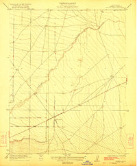
1922 · Chaney Ranch
USGS Topo · 1:31,680
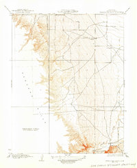
1923 · Tierra Loma School
USGS Topo · 1:31,680
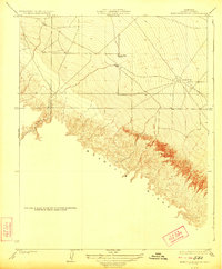
1923 · Monocline Ridge
USGS Topo · 1:31,680
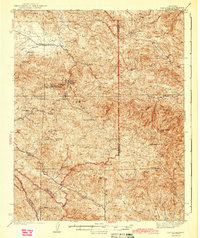
1943 · New Idria
USGS Topo · 1:62,500
1943 · Hernandez Valley
USGS Topo · 1:62,500
1944 · Hernandez Valley
USGS Topo · 1:62,500
1944 · Panoche Valley
USGS Topo · 1:62,500