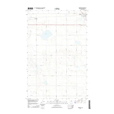
2014 Map of Tunbridge
USGS Topo · Published 2014About this map
Rugby anchors the northeast corner of this central Pierce County landscape, serving as a primary hub where Highway 2 intersects with local routes. The terrain is defined by the prairie pothole geography characteristic of the region, featuring numerous small depressions and water bodies. The most prominent of these is Sand Slough, a significant wetland feature situated west of the main settlement. Small clusters of development at Tunbridge are visible along the southern side of the highway, while a strict grid of section-line roads, such as 24th Ave NE and 60th St NE, organizes the surrounding agricultural fields. This 2014 survey documents the modern layout of rural North Dakota, highlighting the relationship between the natural drainage patterns of the sloughs and the persistent geometric order of the northern plains township system.
Find a feature on this map
27 named features on this map. Tap any name to fly to it.
Don’t see what you’re looking for? This feature index may not catch every label — zoom into the map to look around manually.
Map Details
Editions of this 2014 Tunbridge Map
This is the sole edition of this map. No revisions or reprints were ever made.
Other maps of this area

1953 · Devils Lake
USGS Topo · 1:250,000

1954 · Tunbridge
USGS Topo · 1:24,000

1954 · Berwick
USGS Topo · 1:24,000

1954 · Round Lake
USGS Topo · 1:24,000

1954 · Rugby NW
USGS Topo · 1:24,000

1954 · Leverich
USGS Topo · 1:24,000

1954 · Minot
USGS Topo · 1:250,000

1955 · Rugby
USGS Topo · 1:24,000

1956 · Devils Lake
USGS Topo · 1:250,000

1958 · Minot
USGS Topo · 1:250,000