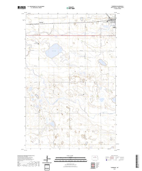
2024 Map of Tunbridge
USGS Topo · Published 2024About this map
The prairie landscape of Pierce County is defined by a dense network of wetlands and small water bodies like Sand Slough. This region, characterized by its glacial potholes and waterfowl habitat, includes the expansive Pierce County Waterfowl Production Area, which covers a significant portion of the central terrain. The settlement pattern follows a grid of township and range roads, with the community of Rugby visible on the eastern edge and Tunbridge situated to the northwest.
Find a feature on this map
33 named features on this map. Tap any name to fly to it.
Don’t see what you’re looking for? This feature index may not catch every label — zoom into the map to look around manually.
Map Details
Editions of this 2024 Tunbridge Map
This is the sole edition of this map. No revisions or reprints were ever made.
Other maps of this area

1953 · Devils Lake
USGS Topo · 1:250,000

1954 · Tunbridge
USGS Topo · 1:24,000

1954 · Berwick
USGS Topo · 1:24,000

1954 · Round Lake
USGS Topo · 1:24,000

1954 · Rugby NW
USGS Topo · 1:24,000

1954 · Leverich
USGS Topo · 1:24,000

1954 · Minot
USGS Topo · 1:250,000

1955 · Rugby
USGS Topo · 1:24,000

1956 · Devils Lake
USGS Topo · 1:250,000

1958 · Minot
USGS Topo · 1:250,000