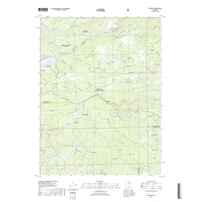
2019 Map of Tungsten
USGS Topo · Published 2019About this map
Nederland serves as a primary hub in this mountain landscape, positioned along the edge of the Barker Reservoir where Middle Boulder Creek and Boulder Creek converge. The terrain is defined by high peaks and deep gulches, with Tungsten Mountain and Hurricane Hill rising above the local settlements. Residential developments like St. Ann Highlands, Bonanza Mountain Estates, and Wondervu are integrated into the complex topography of the Roosevelt National Forest.
Find a feature on this map
107 named features on this map. Tap any name to fly to it.
Don’t see what you’re looking for? This feature index may not catch every label — zoom into the map to look around manually.
Map Details
Editions of this 2019 Tungsten Map
This is the sole edition of this map. No revisions or reprints were ever made.
Other maps of this area

1899 · West Denver
USGS Topo · 1:125,000

1902 · Boulder
USGS Topo · 1:62,500

1904 · Boulder
USGS Topo · 1:62,500

1905 · Central City
USGS Topo · 1:62,500

1906 · Blackhawk
USGS Topo · 1:62,500

1910 · Central City
USGS Topo · 1:62,500

1912 · Central City
USGS Topo · 1:62,500

1915 · Longs Peak
USGS Topo · 1:125,000

1919 · Rocky Mountain National Park
USGS Topo · 1:125,000

1942 · Eldorado Springs
USGS Topo · 1:24,000