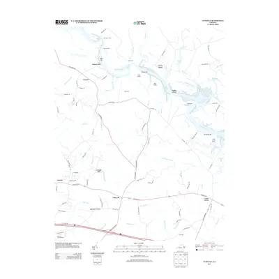
2013 Map of Tunstall
USGS Topo · Published 2013About this map
The Pamunkey River winds through this Tidewater landscape, defining a network of wetlands and river landings that have shaped local transport for centuries. Near the riverbanks, notable estates and landings like White House, Liberty Hall, and Lacey Landing stand alongside river bars such as Ringer Bar and Gregory Bar. The map reveals a transition from these water-dependent sites to the inland settlements of Tunstall and Tallysville, connected by historic routes like Old Church Rd and Old River Rd.
Find a feature on this map
98 named features on this map. Tap any name to fly to it.
Don’t see what you’re looking for? This feature index may not catch every label — zoom into the map to look around manually.
Map Details
Editions of this 2013 Tunstall Map
This is the sole edition of this map. No revisions or reprints were ever made.
Other maps of this area

1917 · Toano
USGS Topo · 1:62,500

1918 · Charles City
USGS Topo · 1:62,500

1918 · Toano
USGS Topo · 1:62,500

1919 · New Kent
USGS Topo · 1:62,500

1920 · King William
USGS Topo · 1:62,500

1943 · Richmond
USGS Topo · 1:250,000
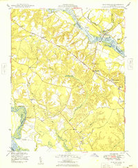
1949 · King William
USGS Topo · 1:24,000
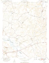
1949 · Quinton
USGS Topo · 1:24,000
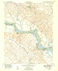
1949 · King And Queen
USGS Topo · 1:24,000

1949 · Tunstall
USGS Topo · 1:24,000