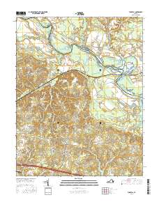
2016 Map of Tunstall
USGS Topo · Published 2016About this map
The Pamunkey River winds along the northern boundary of this New Kent County landscape, defining a terrain shaped by tidal marshes and historic river-fronting estates. Significant riparian features like Little Island and Big Island sit amidst a complex network of bars and swamps, including Gregory Bar and Lilly Point Marsh. The map documents the persistent layout of colonial-era settlements and agricultural landings, with Elsing Green and Poplar Grove overlooking the water.
Find a feature on this map
107 named features on this map. Tap any name to fly to it.
Don’t see what you’re looking for? This feature index may not catch every label — zoom into the map to look around manually.
Map Details
Editions of this 2016 Tunstall Map
This is the sole edition of this map. No revisions or reprints were ever made.
Other maps of this area
1917 · Toano
USGS Topo · 1:62,500
1918 · Charles City
USGS Topo · 1:62,500
1918 · Toano
USGS Topo · 1:62,500
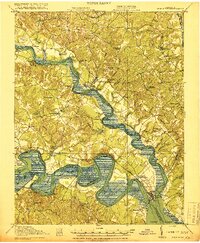
1919 · New Kent
USGS Topo · 1:62,500
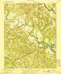
1920 · King William
USGS Topo · 1:62,500

1943 · Richmond
USGS Topo · 1:250,000
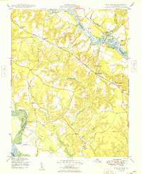
1949 · King William
USGS Topo · 1:24,000
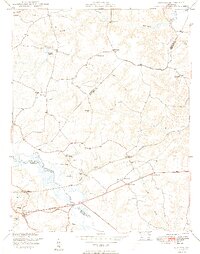
1949 · Quinton
USGS Topo · 1:24,000
1949 · King And Queen
USGS Topo · 1:24,000
1949 · Tunstall
USGS Topo · 1:24,000