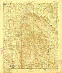
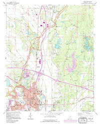
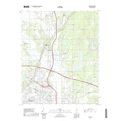
1923 Map of Tupelo
USGS Topo · Published 1923About this map
Tupelo serves as the rail hub of Lee County in the early 1920s, situated at the junction of the St Louis San Francisco RR and the Mobile and Ohio RR. The landscape is a dense network of family-named landmarks and rural institutions, from Kirks Gin to the County Farm. To the north, settlements like Guntown and Saltillo follow the rail line, while the eastern hills are dotted with remote schools and churches including Euclautubba Church and Whitley School.
Find a feature on this map
86 named features on this map. Tap any name to fly to it.
Don’t see what you’re looking for? This feature index may not catch every label — zoom into the map to look around manually.
Map Details
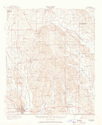
Editions of this 1923 Tupelo Map
2 editions found
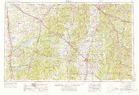
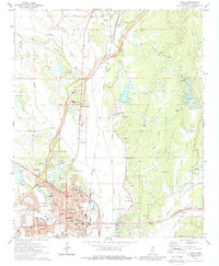
Historical Maps of Tupelo Through Time
13 maps found
1921 Tupelo
Lee County, MS

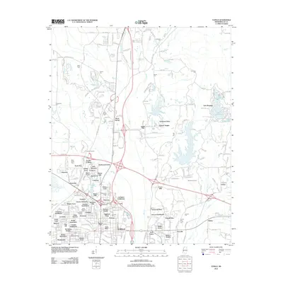
1923 Tupelo
Lee County, MS
1956 Tupelo
Lee County, MS

1958 Tupelo
Lee County, MS
1973 Tupelo
Lee County, MS

1984 Tupelo
Lee County, MS

1984 Tupelo
Lee County, MS
1992 Tupelo
Lee County, MS
2012 Tupelo
Lee County, MS
2015 Tupelo
Lee County, MS
2018 Tupelo
Lee County, MS
2021 Tupelo
Lee County, MS
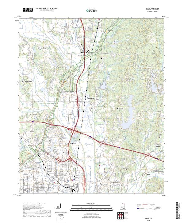
2024 Tupelo
Lee County, MS