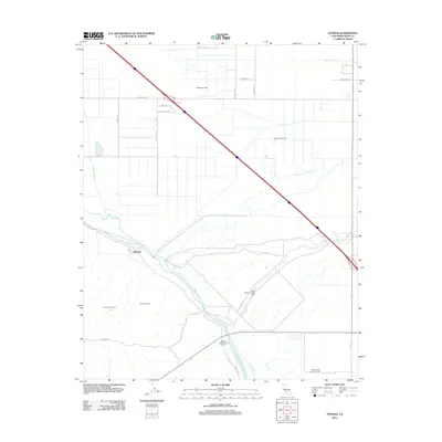
2012 Map of Tupman
USGS Topo · Published 2012About this map
Industrial energy production and agricultural water management define the landscape around Tupman in this 2012 survey of western Kern County. The map details the extensive operations of the North Coles Levee Oil Field and South Coles Levee Oil Field, illustrating the heavy imprint of the petroleum industry on the San Joaquin Valley. These industrial zones are contrasted by the structured water transport network essential to the region's ranching, featuring the Governor Edmund G Brown California Aqueduct, the Kern River, and several major canals including the James and Dixon Canal.
Find a feature on this map
29 named features on this map. Tap any name to fly to it.
Don’t see what you’re looking for? This feature index may not catch every label — zoom into the map to look around manually.
Map Details
Editions of this 2012 Tupman Map
This is the sole edition of this map. No revisions or reprints were ever made.
Other maps of this area
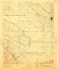
1910 · Buena Vista Lake
USGS Topo · 1:125,000
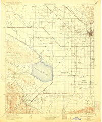
1912 · Buena Vista Lake
USGS Topo · 1:125,000
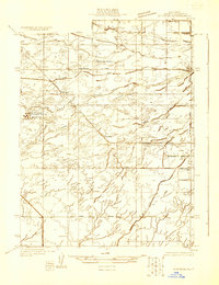
1929 · Stevens
USGS Topo · 1:31,680
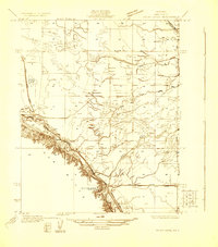
1929 · Coles Levee
USGS Topo · 1:31,680
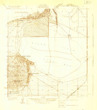
1929 · Mouth of Kern
USGS Topo · 1:31,680
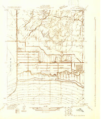
1930 · Millux
USGS Topo · 1:31,680
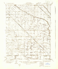
1930 · Rosedale
USGS Topo · 1:31,680
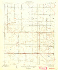
1931 · Rio Bravo
USGS Topo · 1:31,680
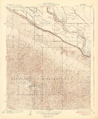
1932 · East Elk Hills
USGS Topo · 1:31,680
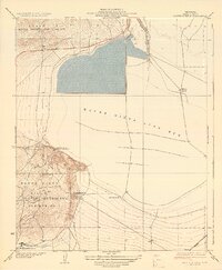
1932 · Mouth of Kern
USGS Topo · 1:31,680