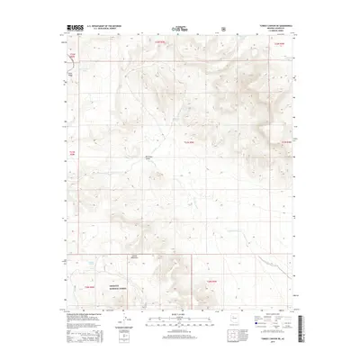
2014 Map of Turkey Canyon NE
USGS Topo · Published 2014About this map
Big Chino Valley dominates this high-desert landscape in Yavapai County, where the sprawling arid plains meet the rising slopes of the Juniper Mountains. The 2014 survey reveals a terrain defined by intermittent drainage and critical water storage points, essential for ranching and wildlife in this part of the Southwest. The Big Chino Wash meanders through the central valley floor, while the southern portion of the map transitions into the protected lands of the Prescott National Forest.
Find a feature on this map
18 named features on this map. Tap any name to fly to it.
Don’t see what you’re looking for? This feature index may not catch every label — zoom into the map to look around manually.
Map Details
Editions of this 2014 Turkey Canyon NE Map
This is the sole edition of this map. No revisions or reprints were ever made.
Other maps of this area

1886 · Chino
USGS Topo · 1:250,000

1891 · Chino
USGS Topo · 1:250,000

1947 · Picacho Butte
USGS Topo · 1:62,500

1947 · Turkey Canyon
USGS Topo · 1:62,500

1948 · Williams
USGS Topo · 1:250,000

1948 · Picacho Butte
USGS Topo · 1:63,360

1950 · Turkey Canyon
USGS Topo · 1:62,500

1950 · Picacho Butte
USGS Topo · 1:62,500

1954 · Williams
USGS Topo · 1:250,000

1956 · Williams
USGS Topo · 1:250,000