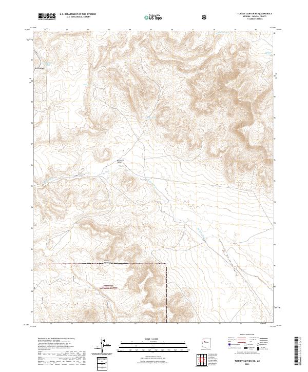
2021 Map of Turkey Canyon NE
USGS Topo · Published 2021About this map
Big Chino Valley dominates this high-desert landscape in central Arizona, characterized by its wide basin and the seasonal drainage of Big Chino Wash. The southern portion of the map transitions into the rising terrain of the Juniper Mountains, much of which is protected within the Prescott National Forest. This 2021 survey reveals a remote ranching and forest landscape defined by water management in a dry environment, with numerous named catchments such as Maverick Tank, Sullivan Tanks, and Dead Horse Tank scattered across the township sections. Transportation is limited to functional ranch and forest corridors like Co Rd 5 and W Double O Ranch Rd, illustrating the area's continued use for cattle grazing and natural resource management rather than dense settlement.
Find a feature on this map
19 named features on this map. Tap any name to fly to it.
Don’t see what you’re looking for? This feature index may not catch every label — zoom into the map to look around manually.
Map Details
Editions of this 2021 Turkey Canyon NE Map
This is the sole edition of this map. No revisions or reprints were ever made.
Other maps of this area

1886 · Chino
USGS Topo · 1:250,000

1891 · Chino
USGS Topo · 1:250,000

1947 · Picacho Butte
USGS Topo · 1:62,500

1947 · Turkey Canyon
USGS Topo · 1:62,500

1948 · Williams
USGS Topo · 1:250,000

1948 · Picacho Butte
USGS Topo · 1:63,360

1950 · Turkey Canyon
USGS Topo · 1:62,500

1950 · Picacho Butte
USGS Topo · 1:62,500

1954 · Williams
USGS Topo · 1:250,000

1956 · Williams
USGS Topo · 1:250,000