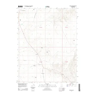
2014 Map of Turkey Knob
USGS Topo · Published 2014About this map
Turkey Knob stands as a prominent high point in this 2014 survey of the high desert terrain south of the Poison Spring Benches. The landscape is defined by its drainage systems, featuring the deeply cut Death Canyon and the broad alluvial reaches of Cottonwood Wash. Transportation in this arid region is limited to essential corridors like Ut-95 and the specialized Poison Spring to Lone Cedar Rd, reflecting the remote nature of these benchlands. The map reveals the infrastructure required for water management in a dry climate, centered around the Lone Cedar Reservoir on Lone Cedar Flat. From the high vantage of Trachyte Point to the depressions of Dry Lake Swale, the topography illustrates the transition between high plateaus and the canyon systems that feed into the larger Colorado River basin drainage.
Find a feature on this map
21 named features on this map. Tap any name to fly to it.
Don’t see what you’re looking for? This feature index may not catch every label — zoom into the map to look around manually.
Map Details
Editions of this 2014 Turkey Knob Map
This is the sole edition of this map. No revisions or reprints were ever made.
Other maps of this area

1885 · San Rafael
USGS Topo · 1:250,000

1886 · Henry Mountains
USGS Topo · 1:250,000

1892 · Henry Mountains
USGS Topo · 1:250,000

1952 · Orange Cliffs 3 SW
USGS Topo · 1:24,000

1952 · Mount Ellen 4 SW
USGS Topo · 1:24,000

1952 · Mt Pennell 1 NE
USGS Topo · 1:24,000

1952 · Mt Hillers
USGS Topo · 1:62,500

1952 · Mt. Ellen 4 NW
USGS Topo · 1:24,000

1952 · Mt Pennell 1 NW
USGS Topo · 1:24,000

1952 · Hite
USGS Topo · 1:62,500