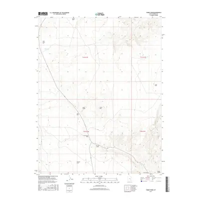
2017 Map of Turkey Knob
USGS Topo · Published 2017About this map
Turkey Knob stands as a central landmark in this high-desert region of Garfield County, where the landscape is defined by an intricate network of drainage systems and prominent plateaus. The topography is marked by significant elevation changes between features like Trachyte Point and Cedar Point, which overlook a series of erosional washes. These corridors, including Cottonwood Wash, Death Canyon, and Butler Wash, dictate the natural movement across the terrain. Water management in this arid environment is evidenced by the Lone Cedar Reservoir situated on Lone Cedar Flat. The alignment of State Route 95 and State Route 276 follows these natural contours, illustrating how modern transportation routes in Utah's canyon country are constrained by the ancient geography of Dry Lake Swale and Seep Wash.
Find a feature on this map
18 named features on this map. Tap any name to fly to it.
Don’t see what you’re looking for? This feature index may not catch every label — zoom into the map to look around manually.
Map Details
Editions of this 2017 Turkey Knob Map
This is the sole edition of this map. No revisions or reprints were ever made.
Other maps of this area

1885 · San Rafael
USGS Topo · 1:250,000

1886 · Henry Mountains
USGS Topo · 1:250,000

1892 · Henry Mountains
USGS Topo · 1:250,000

1952 · Orange Cliffs 3 SW
USGS Topo · 1:24,000

1952 · Mount Ellen 4 SW
USGS Topo · 1:24,000

1952 · Mt Pennell 1 NE
USGS Topo · 1:24,000

1952 · Mt Hillers
USGS Topo · 1:62,500

1952 · Mt. Ellen 4 NW
USGS Topo · 1:24,000

1952 · Mt Pennell 1 NW
USGS Topo · 1:24,000

1952 · Hite
USGS Topo · 1:62,500