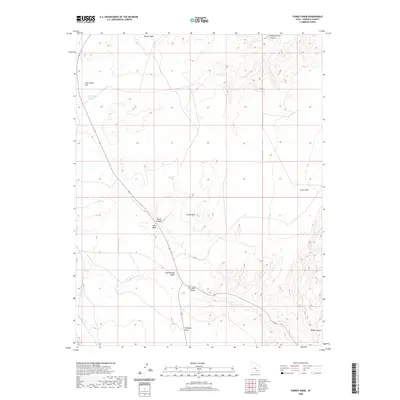
2020 Map of Turkey Knob
USGS Topo · Published 2020About this map
Turkey Knob stands as a central high point in this Garfield County landscape, where the drainage systems of the Colorado River plateau define the terrain. The northern reaches are shaped by the deep cuts of Poison Spring Canyon and Butler Wash, while the western edge is marked by the distinct level expanse of Lone Cedar Flat and the adjacent Lone Cedar Reservoir. This 2020 survey reveals a land of dramatic topographic relief, where prominent overlooks like Cedar Point and Trachyte Point provide vantage points over the complex network of dry washes and canyons. The mapping of Death Canyon and Cottonwood Wash illustrates the hydrological patterns of this arid environment, showing how seasonal water flow has carved the surface into a series of points, knobs, and swales, including the notable Dry Lake Swale.
Find a feature on this map
12 named features on this map. Tap any name to fly to it.
Don’t see what you’re looking for? This feature index may not catch every label — zoom into the map to look around manually.
Map Details
Editions of this 2020 Turkey Knob Map
This is the sole edition of this map. No revisions or reprints were ever made.
Other maps of this area

1885 · San Rafael
USGS Topo · 1:250,000

1886 · Henry Mountains
USGS Topo · 1:250,000

1892 · Henry Mountains
USGS Topo · 1:250,000

1952 · Orange Cliffs 3 SW
USGS Topo · 1:24,000

1952 · Mount Ellen 4 SW
USGS Topo · 1:24,000

1952 · Mt Pennell 1 NE
USGS Topo · 1:24,000

1952 · Mt Hillers
USGS Topo · 1:62,500

1952 · Mt. Ellen 4 NW
USGS Topo · 1:24,000

1952 · Mt Pennell 1 NW
USGS Topo · 1:24,000

1952 · Hite
USGS Topo · 1:62,500