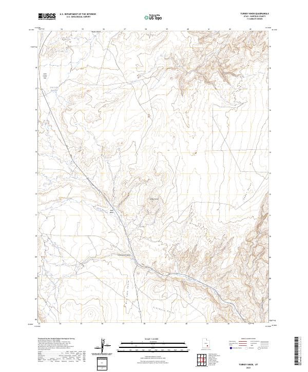
2023 Map of Turkey Knob
USGS Topo · Published 2023About this map
Turkey Knob stands as a prominent landmark in this desert landscape of Garfield County, where the drainage systems of Butler Wash and North Wash have carved deep into the terrain. The map documents a highly specialized water management system essential for this arid region, most notably Lone Cedar Reservoir situated on the expansive Lone Cedar Flat. These features suggest a history of seasonal grazing or resource management in an area defined by its dramatic elevation changes and named geographical points.
Find a feature on this map
12 named features on this map. Tap any name to fly to it.
Don’t see what you’re looking for? This feature index may not catch every label — zoom into the map to look around manually.
Map Details
Editions of this 2023 Turkey Knob Map
This is the sole edition of this map. No revisions or reprints were ever made.
Other maps of this area

1885 · San Rafael
USGS Topo · 1:250,000

1886 · Henry Mountains
USGS Topo · 1:250,000

1892 · Henry Mountains
USGS Topo · 1:250,000

1952 · Orange Cliffs 3 SW
USGS Topo · 1:24,000

1952 · Mount Ellen 4 SW
USGS Topo · 1:24,000

1952 · Mt Pennell 1 NE
USGS Topo · 1:24,000

1952 · Mt Hillers
USGS Topo · 1:62,500

1952 · Mt. Ellen 4 NW
USGS Topo · 1:24,000

1952 · Mt Pennell 1 NW
USGS Topo · 1:24,000

1952 · Hite
USGS Topo · 1:62,500