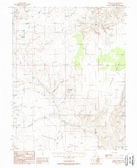
1988 Map of Turkey Knob
USGS Topo · Published 1988About this map
Turkey Knob stands as a prominent landmark in this section of Garfield County, an area defined by deep drainages and high mesa formations in the late 1980s. The landscape is carved by a network of seasonal watercourses, including North Wash, Cottonwood Wash, and Seep Wash, which flow toward the Colorado River system. High elevation features like Trachyte Point and Cedar Point provide natural overlooks across the arid terrain.
Find a feature on this map
15 named features on this map. Tap any name to fly to it.
Don’t see what you’re looking for? This feature index may not catch every label — zoom into the map to look around manually.
Map Details
Editions of this 1988 Turkey Knob Map
This is the sole edition of this map. No revisions or reprints were ever made.
Other maps of this area

1885 · San Rafael
USGS Topo · 1:250,000

1886 · Henry Mountains
USGS Topo · 1:250,000

1892 · Henry Mountains
USGS Topo · 1:250,000

1952 · Orange Cliffs 3 SW
USGS Topo · 1:24,000

1952 · Mount Ellen 4 SW
USGS Topo · 1:24,000

1952 · Mt Pennell 1 NE
USGS Topo · 1:24,000

1952 · Mt Hillers
USGS Topo · 1:62,500

1952 · Mt. Ellen 4 NW
USGS Topo · 1:24,000

1952 · Mt Pennell 1 NW
USGS Topo · 1:24,000

1952 · Hite
USGS Topo · 1:62,500