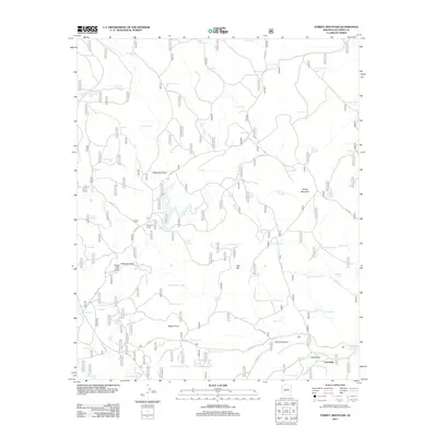
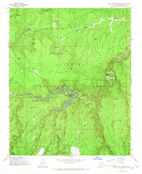
2011 Map of Turkey Mountain
USGS Topo · Published 2011About this map
Turkey Mountain and the surrounding high-altitude desert of Coconino County are defined by an intricate network of water management features and cattle-working landmarks. The landscape is dotted with numerous earthen tanks, including Little Water Tank, Kennedy Tank, and Two Jim Tank, which support livestock in this arid environment. These water sources are connected by a system of Forest Service roads, such as FS RD 93 and FS RD 211, which navigate between prominent elevations like Oak Hill and Bushy Knoll.
Find a feature on this map
79 named features on this map. Tap any name to fly to it.
Don’t see what you’re looking for? This feature index may not catch every label — zoom into the map to look around manually.
Map Details
Editions of this 2011 Turkey Mountain Map
This is the sole edition of this map. No revisions or reprints were ever made.
Other maps of this area

1887 · Verde
USGS Topo · 1:250,000

1892 · Verde
USGS Topo · 1:250,000

1954 · Holbrook
USGS Topo · 1:250,000

1957 · Holbrook
USGS Topo · 1:250,000

1958 · Holbrook
USGS Topo · 1:250,000

1960 · Holbrook
USGS Topo · 1:250,000
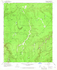
1965 · Long Valley
USGS Topo · 1:24,000
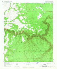
1965 · Calloway Butte
USGS Topo · 1:24,000
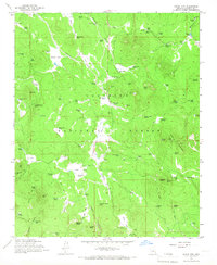
1965 · Hutch Mtn.
USGS Topo · 1:24,000
1965 · Blue Ridge Reservoir
USGS Topo · 1:24,000