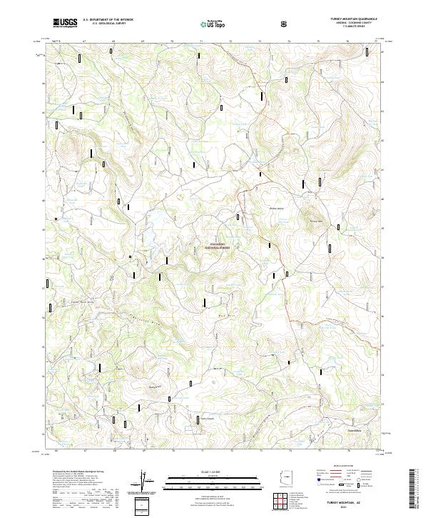
2021 Map of Turkey Mountain
USGS Topo · Published 2021About this map
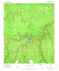
Coconino National Forest defines the character of this high-elevation landscape, where numerous natural and man-made watering points are the primary landmarks. The presence of features like Clintons Pool, Association Tank, and Prairie Dog Tank underscores the importance of water management for livestock and wildlife across these forested uplands. The terrain is marked by prominent rises such as Turkey Mtn, Oak Hill, and Bushy Knoll, while the Arizona National Scenic Trl snakes through the eastern half of the sheet, providing a corridor for traverse through the timber.
Find a feature on this map
77 named features on this map. Tap any name to fly to it.
Don’t see what you’re looking for? This feature index may not catch every label — zoom into the map to look around manually.
Map Details
Editions of this 2021 Turkey Mountain Map
This is the sole edition of this map. No revisions or reprints were ever made.
Other maps of this area

1887 · Verde
USGS Topo · 1:250,000

1892 · Verde
USGS Topo · 1:250,000

1954 · Holbrook
USGS Topo · 1:250,000

1957 · Holbrook
USGS Topo · 1:250,000

1958 · Holbrook
USGS Topo · 1:250,000

1960 · Holbrook
USGS Topo · 1:250,000
1965 · Long Valley
USGS Topo · 1:24,000
1965 · Calloway Butte
USGS Topo · 1:24,000
1965 · Hutch Mtn.
USGS Topo · 1:24,000
1965 · Blue Ridge Reservoir
USGS Topo · 1:24,000