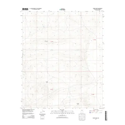
2013 Map of Turkey Ridge
USGS Topo · Published 2013About this map
Turkey Ridge defines the high ground of this Socorro County landscape, where the arid environment required a series of man-made catchments to support ranching and local activity. The presence of Turkey Ruins Tank suggests a proximity to archaeological sites, while State Tank, Sand Tank, and South Tank illustrate the historical importance of water management in this New Mexico interior. The terrain is deeply carved by drainage systems including Grumble Gulch and Mesa Well Canyon, which feed into local basins like N Pothole. Transportation is limited to functional ranching and administrative paths, most notably WSMR S Route 3703, which skirts the western edge of the quadrangle. This 2013 survey provides a clear view of the land before modern development, focusing on the topographic features and vital water sources that have sustained the region.
Find a feature on this map
13 named features on this map. Tap any name to fly to it.
Don’t see what you’re looking for? This feature index may not catch every label — zoom into the map to look around manually.
Map Details
Editions of this 2013 Turkey Ridge Map
This is the sole edition of this map. No revisions or reprints were ever made.
Other maps of this area

1954 · Socorro
USGS Topo · 1:250,000

1958 · Socorro
USGS Topo · 1:250,000

1962 · Socorro
USGS Topo · 1:250,000

1972 · Turkey Ridge
USGS Topo · 1:24,000

1972 · Turkey Ridge SW
USGS Topo · 1:24,000

1972 · Gran Quivira
USGS Topo · 1:24,000
1972 · Chupadera Spring
USGS Topo · 1:24,000

1972 · Chupadera
USGS Topo · 1:24,000

1972 · Bigbee Draw
USGS Topo · 1:24,000

1972 · Wilson Ranch
USGS Topo · 1:24,000