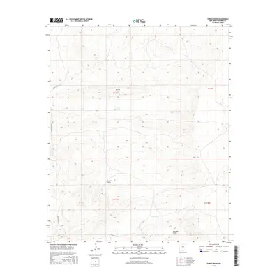
2017 Map of Turkey Ridge
USGS Topo · Published 2017About this map
Turkey Ridge anchors this Socorro County landscape, a terrain defined by its arid drainage patterns and water management features. The area's reliance on intermittent water sources is evident through a series of named tanks and catchments, including State Tank, Sand Tank, and the archeologically suggestive Turkey Ruins Tank. These features, along with North Pothole, indicate a landscape where every depression in the earth serves a functional purpose for ranching or land management.
Find a feature on this map
13 named features on this map. Tap any name to fly to it.
Don’t see what you’re looking for? This feature index may not catch every label — zoom into the map to look around manually.
Map Details
Editions of this 2017 Turkey Ridge Map
This is the sole edition of this map. No revisions or reprints were ever made.
Other maps of this area

1954 · Socorro
USGS Topo · 1:250,000

1958 · Socorro
USGS Topo · 1:250,000

1962 · Socorro
USGS Topo · 1:250,000

1972 · Turkey Ridge
USGS Topo · 1:24,000

1972 · Turkey Ridge SW
USGS Topo · 1:24,000

1972 · Gran Quivira
USGS Topo · 1:24,000
1972 · Chupadera Spring
USGS Topo · 1:24,000

1972 · Chupadera
USGS Topo · 1:24,000

1972 · Bigbee Draw
USGS Topo · 1:24,000

1972 · Wilson Ranch
USGS Topo · 1:24,000