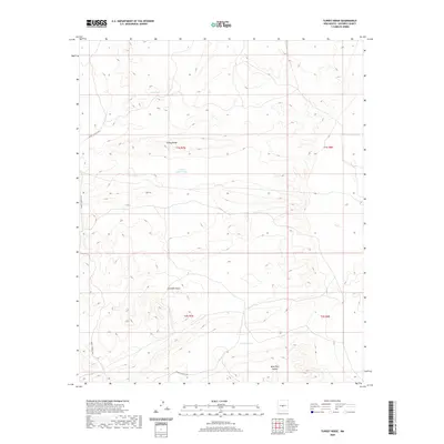
2020 Map of Turkey Ridge
USGS Topo · Published 2020About this map
High desert plateaus and rugged canyon systems define this region of Socorro County, New Mexico. The landscape is marked by Turkey Ridge, which runs through the central portion of the quadrangle, flanked by drainage features such as Grumble Gulch and the deep incisions of Mesa Well Canyon. In an environment where water management is vital for ranching and land use, several man-made catchments are evident, including State Tank, Sand Tank, and the evocatively named Turkey Ruins Tank. Access to this remote terrain is facilitated by WSMR S Route 3703, a track cutting across the arid basins. Other natural landmarks like the North Pothole punctuate the topography, providing a detailed look at the sectioned township and range grid lines of T1S R7E and its neighbors.
Find a feature on this map
12 named features on this map. Tap any name to fly to it.
Don’t see what you’re looking for? This feature index may not catch every label — zoom into the map to look around manually.
Map Details
Editions of this 2020 Turkey Ridge Map
This is the sole edition of this map. No revisions or reprints were ever made.
Other maps of this area

1954 · Socorro
USGS Topo · 1:250,000

1958 · Socorro
USGS Topo · 1:250,000

1962 · Socorro
USGS Topo · 1:250,000

1972 · Turkey Ridge
USGS Topo · 1:24,000

1972 · Turkey Ridge SW
USGS Topo · 1:24,000

1972 · Gran Quivira
USGS Topo · 1:24,000
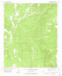
1972 · Chupadera Spring
USGS Topo · 1:24,000

1972 · Chupadera
USGS Topo · 1:24,000

1972 · Bigbee Draw
USGS Topo · 1:24,000

1972 · Wilson Ranch
USGS Topo · 1:24,000