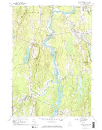
1967 Map of Turner Center
USGS Topo · Published 1969About this map
The Androscoggin River carves a deep valley through this landscape, defining the borders between Turner, Leeds, and Livermore. In the late 1960s, the river remains a central axis for the region, dotted with numerous islands like Griswold Island and Ram Island. Along the western banks, the Nezinscot River flows through Turner Center, where a Jr High Sch and a Gaging Sta reflect the community's local infrastructure.
Find a feature on this map
54 named features on this map. Tap any name to fly to it.
Don’t see what you’re looking for? This feature index may not catch every label — zoom into the map to look around manually.
Map Details
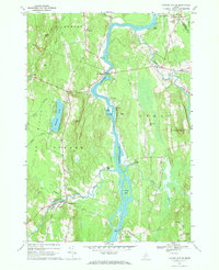
Editions of this 1967 Turner Center Map
2 editions found
Other maps of this area

1908 · Poland
USGS Topo · 1:62,500

1908 · Lewiston
USGS Topo · 1:62,500

1910 · Livermore
USGS Topo · 1:62,500

1911 · Buckfield
USGS Topo · 1:62,500

1912 · Livermore
USGS Topo · 1:62,500

1913 · Buckfield
USGS Topo · 1:62,500

1940 · Poland
USGS Topo · 1:62,500

1941 · Livermore
USGS Topo · 1:62,500

1942 · Lewiston
USGS Topo · 1:62,500

1942 · Buckfield
USGS Topo · 1:62,500