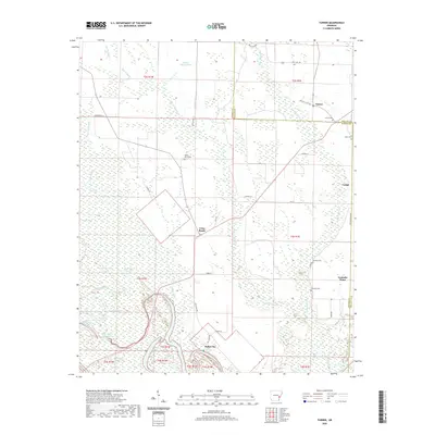
2020 Map of Turner
USGS Topo · Published 2020About this map
Indian Bay sits at the southern edge of this landscape where the complex hydrology of the Arkansas Delta is on full display. The area is defined by a dense network of sluggish water bodies and slashes, including Walker Cypress Slash and Jacobs Slash, which permeate the low-lying terrain. These wetlands are punctuated by small agricultural settlements like Turner and Connells Point, connected by a grid of rural lanes such as Champ Ln and Bobo Ln.
Find a feature on this map
52 named features on this map. Tap any name to fly to it.
Don’t see what you’re looking for? This feature index may not catch every label — zoom into the map to look around manually.
Map Details
Editions of this 2020 Turner Map
This is the sole edition of this map. No revisions or reprints were ever made.
Other maps of this area

1939 · Modoc
USGS Topo · 1:62,500

1939 · Indian Bay
USGS Topo · 1:62,500

1940 · Marvell
USGS Topo · 1:62,500

1940 · Holly Grove
USGS Topo · 1:62,500

1948 · Helena
USGS Topo · 1:250,000

1948 · Modoc
USGS Topo · 1:62,500

1950 · Helena
USGS Topo · 1:250,000

1954 · Indian Bay
USGS Topo · 1:62,500

1955 · Helena
USGS Topo · 1:250,000

1956 · Marvell
USGS Topo · 1:62,500