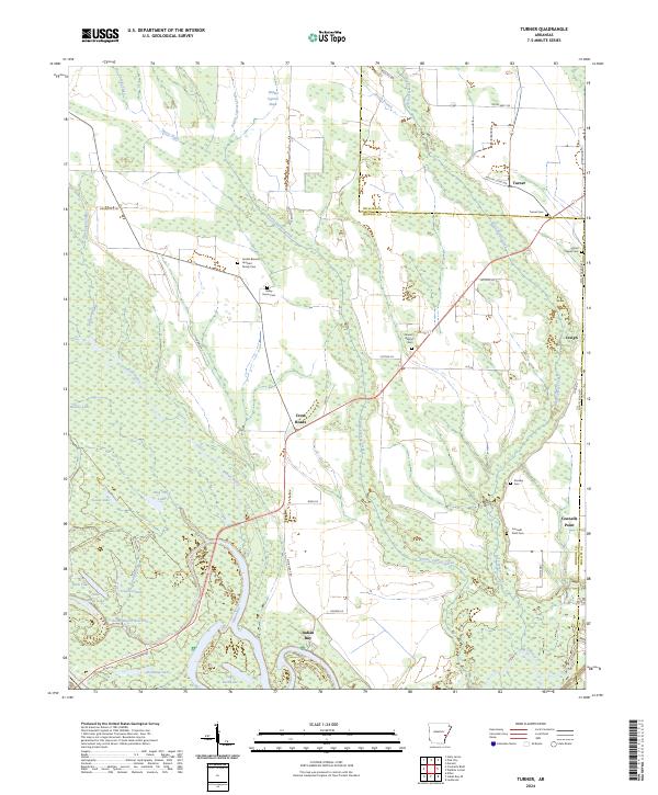
2024 Map of Turner
USGS Topo · Published 2024About this map
The Dale Bumpers White River National Wildlife Refuge dominates the western half of this landscape, where the meandering Indian Bayou and Big Creek carve through a network of oxbow lakes and wetlands. The terrain is defined by its watery transition from protected refuge lands to the agricultural tracts of the Mississippi Delta. In the southeast, the Indian Bay settlement sits near the confluence of these waterways, reflecting a community long tied to the river's seasonal cycles.
Find a feature on this map
63 named features on this map. Tap any name to fly to it.
Don’t see what you’re looking for? This feature index may not catch every label — zoom into the map to look around manually.
Map Details
Editions of this 2024 Turner Map
This is the sole edition of this map. No revisions or reprints were ever made.
Historical Maps of Turner Through Time
12 maps found
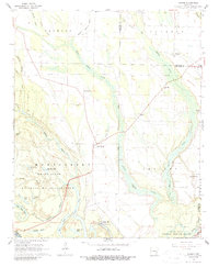
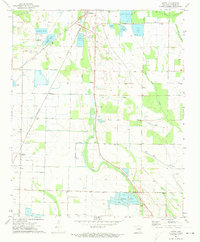
1967 Turner
Monroe County, AR
1968 Aberdeen
Monroe County, AR
1968 De Valls Bluff SE
Monroe County, AR
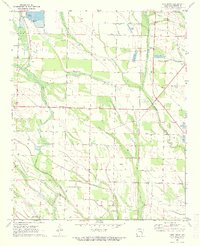
1971 Keevil
Monroe County, AR
1971 Park Grove
Monroe County, AR
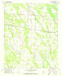
1971 Pine City
Monroe County, AR
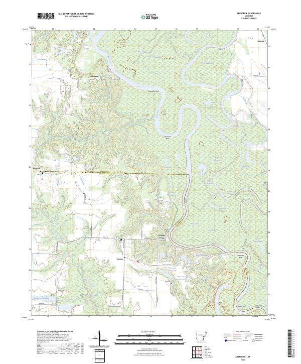
2024 Aberdeen
Monroe County, AR
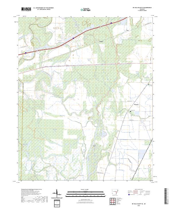
2024 De Valls Bluff SE
Monroe County, AR
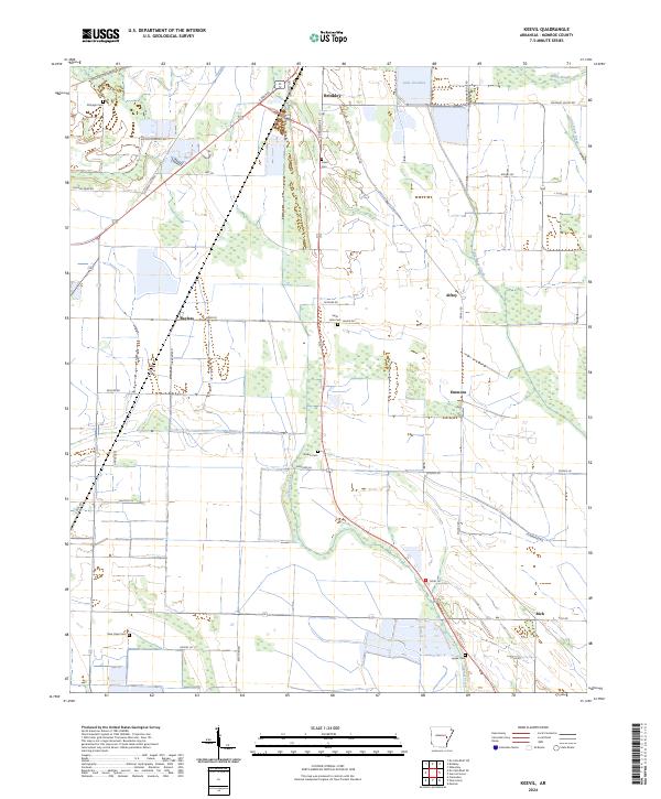
2024 Keevil
Monroe County, AR
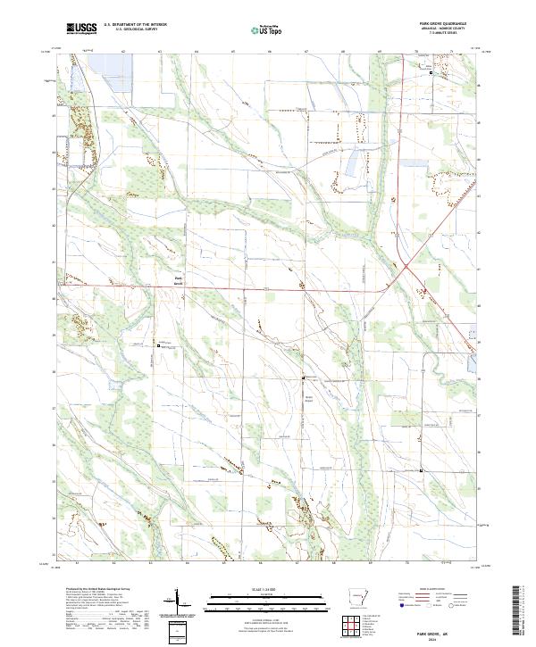
2024 Park Grove
Monroe County, AR
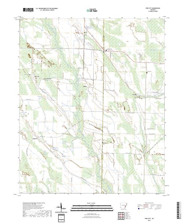
2024 Pine City
Monroe County, AR
2024 Turner
Monroe County, AR