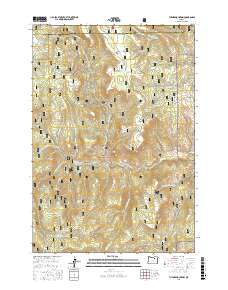
2017 Map of Turner Mountain
USGS Topo · Published 2017About this map
Umatilla National Forest defines the rugged, high-elevation landscape across the boundary of Morrow and Grant counties. The terrain is characterized by a complex network of seasonal drainages and springs, including Wilson Creek, Big Wall Creek, and Willow Spring, which support the livestock and wildlife of this timbered backcountry. Significant topographic landmarks such as Turner Mountain, Eagle Rock, and China Cap rise above the high plateau, while Sunflower Flat provides a rare stretch of level ground amidst the ridges. A dense system of National Forest Development roads, such as NFD 2202 RD and Nat For Dev RD 400, spiderweb across the quadrangle, illustrating the managed nature of these public lands for timber and recreation. The presence of CCC Spring and Happy Jack Ridge speaks to the long history of resource management and labor in these mountains.
Find a feature on this map
71 named features on this map. Tap any name to fly to it.
Don’t see what you’re looking for? This feature index may not catch every label — zoom into the map to look around manually.
Map Details
Editions of this 2017 Turner Mountain Map
This is the sole edition of this map. No revisions or reprints were ever made.
Other maps of this area

1951 · Monument
USGS Topo · 1:62,500

1953 · Kimberly
USGS Topo · 1:62,500

1953 · Pendleton
USGS Topo · 1:250,000

1955 · Canyon City
USGS Topo · 1:250,000

1956 · Pendleton
USGS Topo · 1:250,000

1959 · Canyon City
USGS Topo · 1:250,000

1969 · Chapin Creek
USGS Topo · 1:24,000

1969 · Madison Butte
USGS Topo · 1:24,000

1969 · Big Rock Flat
USGS Topo · 1:24,000

1980 · Monument
USGS Topo · 1:100,000