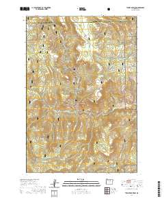
2020 Map of Turner Mountain
USGS Topo · Published 2020About this map
Umatilla National Forest encompasses the majority of this landscape in eastern Oregon, where the boundary between Morrow and Grant counties cuts through the northern timberland. The terrain is defined by complex drainage networks and volcanic prominences, with water sources such as Willow Springs and Big Willow Spring providing essential hydrology for the high country. Central to the map is the distinctive Eagle Rock and the namesake Turner Mtn, rising above numerous named canyons like Dark Canyon and Lost Canyon. Evidence of past land management and resource use is found in labels like CCC Spring, while the presence of Sunflower Flat suggests open meadow pockets within the densely forested ridges. This area remains a vital part of the regional watershed, as seen in the confluence of Wilson Creek and Little Wilson Cr flowing toward the lower basins.
Find a feature on this map
43 named features on this map. Tap any name to fly to it.
Don’t see what you’re looking for? This feature index may not catch every label — zoom into the map to look around manually.
Map Details
Editions of this 2020 Turner Mountain Map
This is the sole edition of this map. No revisions or reprints were ever made.
Other maps of this area

1951 · Monument
USGS Topo · 1:62,500

1953 · Kimberly
USGS Topo · 1:62,500

1953 · Pendleton
USGS Topo · 1:250,000

1955 · Canyon City
USGS Topo · 1:250,000

1956 · Pendleton
USGS Topo · 1:250,000

1959 · Canyon City
USGS Topo · 1:250,000

1969 · Chapin Creek
USGS Topo · 1:24,000

1969 · Madison Butte
USGS Topo · 1:24,000

1969 · Big Rock Flat
USGS Topo · 1:24,000

1980 · Monument
USGS Topo · 1:100,000