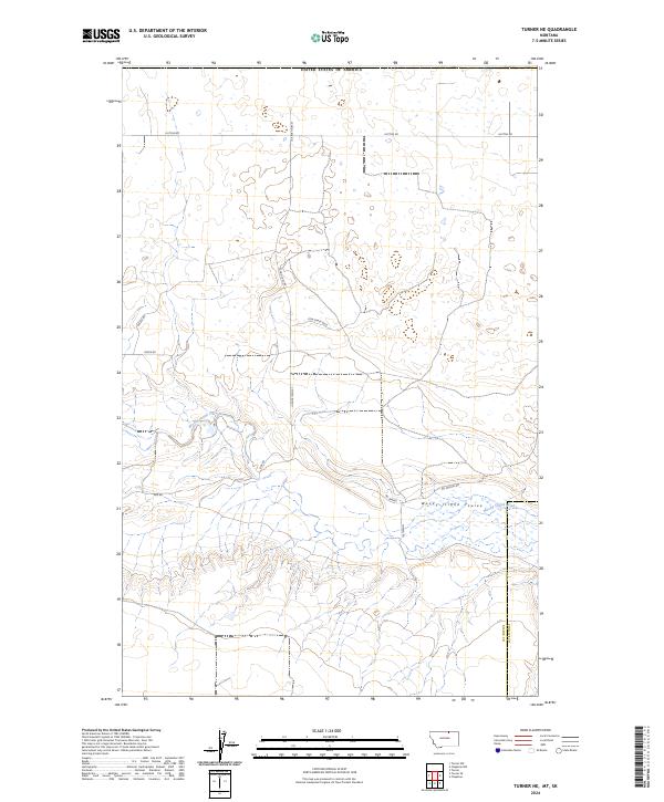
2024 Map of Turner NE
USGS Topo · Published 2024About this map
Woody Island Coulee and the meandering Woody Island Creek define the landscape of this northern Montana border region. Situated along the boundary of Blaine County and Phillips County, just south of the border with the United States of America line, the map documents a sparse, high-plains geography characterized by intermittent water features and long-distance rural routes. The naming of roads like School Bus Rd, Cow Shack Blvd, and Pig Springs Rd reflects the enduring ranching and agricultural heritage of the area. Local landmarks such as Pig Spring provide vital reference points in a terrain marked by wide drainage basins and section-line roads like Hutton Rd and Sids Rd. This survey preserves the contemporary rural infrastructure of the Big Sky country, illustrating the spatial relationship between isolated springs and the county-line boundaries.
Find a feature on this map
18 named features on this map. Tap any name to fly to it.
Don’t see what you’re looking for? This feature index may not catch every label — zoom into the map to look around manually.
Map Details
Editions of this 2024 Turner NE Map
This is the sole edition of this map. No revisions or reprints were ever made.
Other maps of this area

1920 · Avery
USGS Topo · 1:125,000

1953 · Havre
USGS Topo · 1:250,000

1957 · Havre
USGS Topo · 1:250,000

1958 · Havre
USGS Topo · 1:250,000

1984 · Chapman
USGS Topo · 1:24,000
1984 · Chapman NW
USGS Topo · 1:24,000

1984 · Turner
USGS Topo · 1:24,000

1984 · Turner NE
USGS Topo · 1:24,000
1984 · Turner NW
USGS Topo · 1:24,000
1984 · Turner SE
USGS Topo · 1:24,000