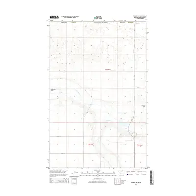
2014 Map of Turner NW
USGS Topo · Published 2014About this map
The Port of Turner marks the international boundary of the United States of America in this section of northern Blaine County. This high-plains landscape is defined by the drainage of Woody Island Creek and its associated Woody Island Coulee, which carve through the terrain alongside Buckley Creek and the southern Mutton Hollow. A network of rural section-line roads, including Hutton Road, Boyer Road, and Greenhouse Road, connects the dispersed homesteads and agricultural operations of this borderland region. The primary transit corridor is Mt-241, which runs north-south through the eastern half of the map, providing the essential link for commerce and travel between the Montana interior and the Canadian border. The map reflects a modern era of remote border security and dryland farming infrastructure.
Find a feature on this map
18 named features on this map. Tap any name to fly to it.
Don’t see what you’re looking for? This feature index may not catch every label — zoom into the map to look around manually.
Map Details
Editions of this 2014 Turner NW Map
This is the sole edition of this map. No revisions or reprints were ever made.
Other maps of this area

1913 · Cherry Ridge
USGS Topo · 1:125,000

1920 · Avery
USGS Topo · 1:125,000

1953 · Havre
USGS Topo · 1:250,000

1957 · Havre
USGS Topo · 1:250,000

1958 · Havre
USGS Topo · 1:250,000

1984 · Hogeland SE
USGS Topo · 1:24,000

1984 · Turner
USGS Topo · 1:24,000

1984 · Turner NE
USGS Topo · 1:24,000
1984 · Turner NW
USGS Topo · 1:24,000
1984 · Mosquito Springs
USGS Topo · 1:24,000