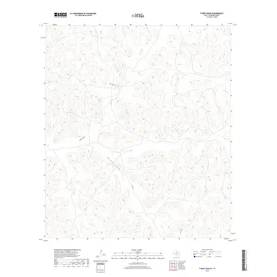
2019 Map of Turney Draw SE
USGS Topo · Published 2019About this map
Edwards County's high ranching country is defined by complex drainage systems and winding local corridors in this 2019 study. The terrain is dominated by the catchments of Buffalo Draw and Wittenburg Draw, which carve deep, intricate paths through the landscape. This part of the Texas Hill Country remains primarily rural and dedicated to large-scale ranching, as evidenced by the sparse network of unpaved and improved roads serving remote homesteads. Connectivity in this secluded area relies on the Nuby Ranch Rd and several county-maintained routes, including Co Rd 105 and Co Rd 450. The map illustrates the sophisticated topography of the region, where every contour line reflects the watershed management critical to West Texas agricultural life.
Find a feature on this map
6 named features on this map. Tap any name to fly to it.
Don’t see what you’re looking for? This feature index may not catch every label — zoom into the map to look around manually.
Map Details
Editions of this 2019 Turney Draw SE Map
This is the sole edition of this map. No revisions or reprints were ever made.
Other maps of this area

1893 · Rock Springs
USGS Topo · 1:125,000

1893 · Nueces
USGS Topo · 1:125,000

1896 · Nueces
USGS Topo · 1:125,000

1943 · Carta Valley
USGS Topo · 1:62,500

1944 · Indian Creek
USGS Topo · 1:62,500

1954 · Sonora
USGS Topo · 1:250,000

1958 · Sonora
USGS Topo · 1:250,000

1958 · Del Rio
USGS Topo · 1:250,000

1964 · Del Rio
USGS Topo · 1:250,000

1970 · Ray Lake NW
USGS Topo · 1:24,000