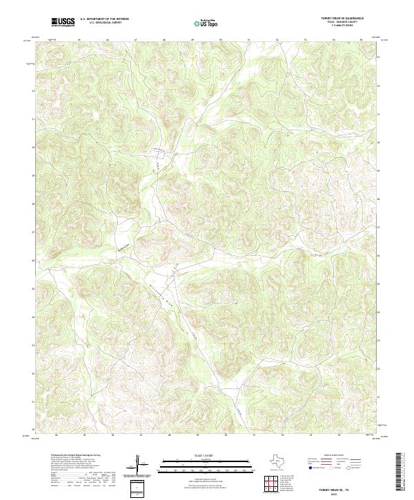
2022 Map of Turney Draw SE
USGS Topo · Published 2022About this map
Buffalo Draw and Wittenburg Draw define the drainage patterns of this Edwards County landscape, where the terrain is dominated by deep, winding draws typical of the Texas Hill Country. This region remains sparsely settled, characterized by large ranching tracts connected by a limited network of remote corridors. Roads like Nuby Ranch Rd and Co Rd 440 provide the primary access through the undulating topography. The lack of traditional town centers or dense infrastructure highlights the area's continued reliance on livestock grazing and private land management. For the researcher, the map preserves the exact alignment of ranch roads and the specific nomenclature of the dry watercourses that shape the movement of people and animals across this high-elevation plateau.
Find a feature on this map
4 named features on this map. Tap any name to fly to it.
Don’t see what you’re looking for? This feature index may not catch every label — zoom into the map to look around manually.
Map Details
Editions of this 2022 Turney Draw SE Map
This is the sole edition of this map. No revisions or reprints were ever made.
Other maps of this area

1893 · Rock Springs
USGS Topo · 1:125,000

1893 · Nueces
USGS Topo · 1:125,000

1896 · Nueces
USGS Topo · 1:125,000

1943 · Carta Valley
USGS Topo · 1:62,500

1944 · Indian Creek
USGS Topo · 1:62,500

1954 · Sonora
USGS Topo · 1:250,000

1958 · Sonora
USGS Topo · 1:250,000

1958 · Del Rio
USGS Topo · 1:250,000

1964 · Del Rio
USGS Topo · 1:250,000

1970 · Ray Lake NW
USGS Topo · 1:24,000