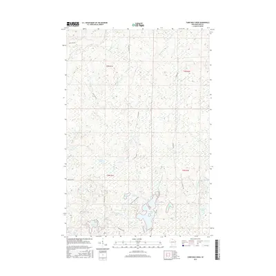
2015 Map of Turntable Creek
USGS Topo · Published 2015About this map
Potato River and the West Fork Montreal River carve through this Iron County landscape, defining a region dominated by wetlands and glacial water bodies. The drainage patterns of the East River and Turntable Creek illustrate the complex hydrology of the northern woods. A network of rural roads, including Snake Track Rd and Island Lake Rd, provides access to numerous named lakes like Fifteen Lake and Island Lake. The landscape is punctuated by smaller features such as Sack Lake, Ruby Lake, and Shine Creek, reflecting the dense, water-rich environment of the Wisconsin-Iron County borderlands. The map reveals how local transit remains tied to the natural contours of the land, with routes like the Pleasant Lake Crossover linking these isolated water bodies.
Find a feature on this map
30 named features on this map. Tap any name to fly to it.
Don’t see what you’re looking for? This feature index may not catch every label — zoom into the map to look around manually.
Map Details
Editions of this 2015 Turntable Creek Map
This is the sole edition of this map. No revisions or reprints were ever made.
Other maps of this area

1940 · Mercer
USGS Topo · 1:48,000

1940 · Butternut
USGS Topo · 1:48,000

1940 · Upson
USGS Topo · 1:48,000

1943 · Upson
USGS Topo · 1:48,000

1943 · Ironwood
USGS Topo · 1:48,000

1945 · Mercer
USGS Topo · 1:48,000

1947 · Butternut
USGS Topo · 1:48,000

1947 · Mercer
USGS Topo · 1:48,000

1950 · Butternut
USGS Topo · 1:48,000

1953 · Ashland
USGS Topo · 1:250,000