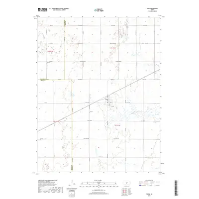
2018 Map of Turon
USGS Topo · Published 2018About this map
Turon sits as a central hub at the intersection of a sprawling road network and rail line in this South Central Kansas landscape. The area is defined by its agrarian structure, with section lines marked by routes like Castleton Rd and Pretty Prairie Rd. Genealogical interest is anchored by several rural burial grounds, including Neola Cem in the northwest, Turin Cem just west of the main settlement, and Pleasant Valley Cem to the southwest. The terrain is subtly drained by Wolf Cr and Silver Cr, which wind through the prairie sections. This survey documents the persistent rural character of the region, where three county boundaries—Stafford, Pratt, and Reno—converge amidst a grid of established family-named roads and remote agricultural outposts.
Find a feature on this map
32 named features on this map. Tap any name to fly to it.
Don’t see what you’re looking for? This feature index may not catch every label — zoom into the map to look around manually.
Map Details
Editions of this 2018 Turon Map
This is the sole edition of this map. No revisions or reprints were ever made.
Other maps of this area

1892 · Kingman
USGS Topo · 1:125,000

1892 · Pratt
USGS Topo · 1:125,000

1894 · Kingman
USGS Topo · 1:125,000

1894 · Pratt
USGS Topo · 1:125,000

1955 · Pratt
USGS Topo · 1:250,000

1959 · Pratt
USGS Topo · 1:250,000

1966 · Cunningham
USGS Topo · 1:24,000

1967 · Penalosa
USGS Topo · 1:24,000

1967 · Cairo
USGS Topo · 1:24,000
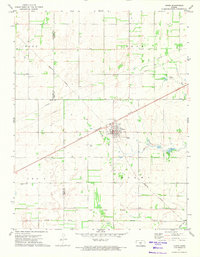
1971 · Turon
USGS Topo · 1:24,000