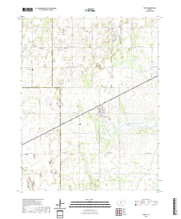
2022 Map of Turon
USGS Topo · Published 2022About this map
Turon sits as a central hub at the meeting of Main St and Price St, surrounded by an expansive grid of rural roads and section lines. This landscape is defined by the intersection of three counties—Stafford, Reno, and Pratt—where the local geography is shaped by the transition from agricultural fields to the sandy flats near Salt Marsh Rd. Family history and local heritage are preserved in several distinct burial grounds, including the Old Neola Cem to the northwest and the Pleasant Valley Cem further south. Waterways such as Wolf Cr and Silver Cr wind through the township, providing the primary drainage for the surrounding prairie. The dense network of named thoroughfares like Pretty Prairie Rd and Fountain Green Rd reflects the established pattern of rural Kansas settlement at the time of this survey.
Find a feature on this map
42 named features on this map. Tap any name to fly to it.
Don’t see what you’re looking for? This feature index may not catch every label — zoom into the map to look around manually.
Map Details
Editions of this 2022 Turon Map
This is the sole edition of this map. No revisions or reprints were ever made.
Other maps of this area

1892 · Kingman
USGS Topo · 1:125,000

1892 · Pratt
USGS Topo · 1:125,000

1894 · Kingman
USGS Topo · 1:125,000

1894 · Pratt
USGS Topo · 1:125,000

1955 · Pratt
USGS Topo · 1:250,000

1959 · Pratt
USGS Topo · 1:250,000

1966 · Cunningham
USGS Topo · 1:24,000

1967 · Penalosa
USGS Topo · 1:24,000

1967 · Cairo
USGS Topo · 1:24,000
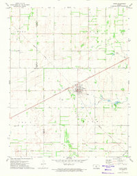
1971 · Turon
USGS Topo · 1:24,000