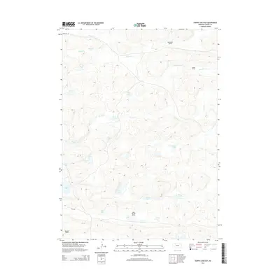
2014 Map of Turpin Lake East
USGS Topo · Published 2014About this map
Turpin Lake and its surrounding wetlands define this portion of the Nebraska Sandhills, where water and wind-shaped terrain dictate the placement of local ranch roads. The landscape is structured by several distinct valleys, including Lake Springs Valley, Tennessee Valley, and Waupan Valley, which serve as natural catchments for the area's numerous bodies of water. These basins contain a dense concentration of small lakes with descriptive local names such as Thirty-Six Lake, Dead Cow Lake, and Three Corners Lake. Drainages like Gordon Cr and Clifford Cr thread through the hills, while terrestrial travel is limited to routes like Fawn Lake Rd and Runner Rd. The abundance of named water features like Blue Crane Lake and Frye Lake underscores the high water table and ecological character typical of the Cherry County interior.
Find a feature on this map
27 named features on this map. Tap any name to fly to it.
Don’t see what you’re looking for? This feature index may not catch every label — zoom into the map to look around manually.
Map Details
Editions of this 2014 Turpin Lake East Map
This is the sole edition of this map. No revisions or reprints were ever made.
Other maps of this area

1949 · Steverson Lake
USGS Topo · 1:62,500

1949 · Turpin Lake
USGS Topo · 1:62,500

1951 · Steverson Lake
USGS Topo · 1:62,500

1951 · Gypsy Valley
USGS Topo · 1:62,500

1951 · Turpin Lake
USGS Topo · 1:62,500

1951 · Merriman 4
USGS Topo · 1:62,500

1957 · Valentine
USGS Topo · 1:250,000

1959 · Valentine
USGS Topo · 1:250,000

1985 · Mullen
USGS Topo · 1:100,000

1985 · Cody
USGS Topo · 1:100,000