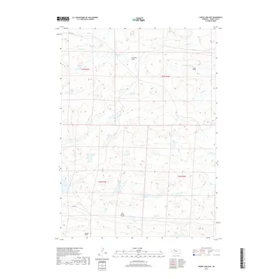
2017 Map of Turpin Lake East
USGS Topo · Published 2017About this map
The Nebraska Sandhills of Cherry County define this landscape, where a dense network of interdunal lakes and seasonal wetlands create a complex hydrological pattern. Large depressions such as Tennessee Valley and James Valley organize the local topography, punctuated by numerous named water bodies including Turpin Lake and Frye Lake. The presence of Gordon Cr and Clifford Cr suggests the intermittent drainage typical of this semi-arid region, where water often pools in low-lying basins rather than flowing through integrated river systems.
Find a feature on this map
31 named features on this map. Tap any name to fly to it.
Don’t see what you’re looking for? This feature index may not catch every label — zoom into the map to look around manually.
Map Details
Editions of this 2017 Turpin Lake East Map
This is the sole edition of this map. No revisions or reprints were ever made.
Other maps of this area

1949 · Steverson Lake
USGS Topo · 1:62,500

1949 · Turpin Lake
USGS Topo · 1:62,500

1951 · Steverson Lake
USGS Topo · 1:62,500

1951 · Gypsy Valley
USGS Topo · 1:62,500

1951 · Turpin Lake
USGS Topo · 1:62,500

1951 · Merriman 4
USGS Topo · 1:62,500

1957 · Valentine
USGS Topo · 1:250,000

1959 · Valentine
USGS Topo · 1:250,000

1985 · Mullen
USGS Topo · 1:100,000

1985 · Cody
USGS Topo · 1:100,000